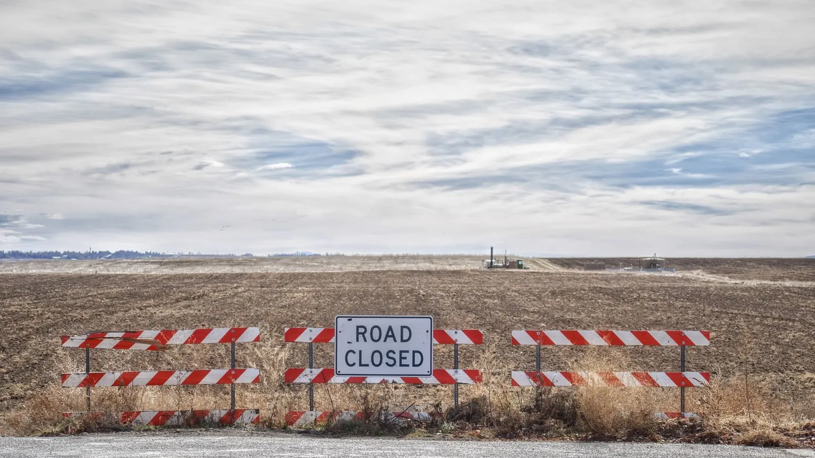
The fastest way to check if a rest area is open is to look at the official traveler-information map of the state you are driving through, usually called “511”, and then the state DOT’s rest area page. Rest area closures are announced by the agency that runs the stop, not by map apps, so a state source settles the question. Many states also answer the phone at 511, but not all of them do.
This guide explains why rest areas close, which official service to use in each state, and what our own directory can and cannot tell you about a stop’s status.
Why rest areas close
Rest area closures have three common causes: construction, seasonal shutdowns and budget cuts. Short maintenance closures add a fourth, and they are the hardest to predict.
Construction and rebuilding cause the longest closures. Caltrans closed both I-5 Willows Safety Roadside Rest Areas in Glenn County in January 2021 to replace water, wastewater and lighting systems. In an August 2022 release, Caltrans extended the closure again because of supply-chain delays for materials. The New Jersey Turnpike Authority closed the Woodrow Wilson and Molly Pitcher service areas from September 2021 until May 2022 for renovations.
Seasonal closures follow low winter use and winter hazards. Michigan DOT closed five rest areas on December 1, 2025: St. Ignace (southbound I-75), Ludington (northbound US-31), Topinabee (northbound I-75), Hebron (southbound I-75) and Hart (southbound US-31). MDOT gave two reasons: reduced use in winter and safety concerns such as steep entrance and exit drives and slippery stairways. The reopening was planned for April 2026.
Budget cuts can close stops for months or longer. The Wyoming Department of Transportation closed 10 rest areas on June 15, 2020 to close a budget gap. WYDOT estimated savings of about $789,812 a year.
Maintenance closures usually last hours, not weeks. Caltrans closed the I-80 Donner Summit rest areas one direction at a time, from 7 a.m. to 4:30 p.m., in September 2022 to restripe the parking lots and pick up litter. A closure like this rarely shows up anywhere except the state’s own map or news release.
A closed rest area matters most where stops are far apart. In our directory, the median of the 644 gaps we could measure by official mile markers is 44 miles, and 13% of those gaps are 90 miles or longer. Our guide on how far apart rest areas are shows the long stretches by state.
How to check if a rest area is open
Check in this order, and stop as soon as one official source answers the question.
- Open the state’s 511 or traveler-information map. Most of these maps show closures, construction and incidents along your route. Some, such as UDOT Traffic in Utah, have a rest area layer, and TxDOT says its DriveTexas map covers rest areas along with closures and road damage.
- Look at the state DOT’s rest area page or news releases. Planned seasonal and construction closures are usually announced there first. Michigan, for example, said closed rest areas would be listed on its rest area website.
- Call 511 if you cannot look at a screen. The FCC assigned 511 as the nationwide traveler-information number on July 21, 2000, according to the Federal Register. FHWA notes that there is no federal requirement to run a 511 service, so coverage and phone menus differ by state.
- Check the toll road operator for service plazas. Turnpike plazas are run by the toll authority, not the state DOT, and closures appear on the operator’s site. Our guide to turnpike service plazas lists the operators.
Planned closures are usually easier to find than sudden ones. A water outage or a full lot can close a stop with no notice, so plan a backup stop when the next gap is long.
Phone numbers we could verify
Several states publish phone options on their own pages:
- Colorado: call 511 for road and weather conditions, per CDOT.
- Massachusetts: dial 511 and pick a route, per MassDOT.
- New Jersey: call 511 anywhere in the state, per NJDOT.
- North Dakota: dial 511 in the state or 1-866-696-3511 from out of state, per NDDOT.
- Oklahoma: call 844-465-4997, per ODOT.
- Texas: call 1-800-452-9292; TxDOT says travel counselors answer from 8 a.m. to 6 p.m. daily and automated information is available around the clock (TxDOT).
State traveler-information services (511) by state
The table lists the official traveler-information service for each state where we opened the site and could tie it to the state transportation agency on November 1, 2026. For New Jersey, Oklahoma and Texas the traveler map itself would not load for our check, so the table links the state DOT page that names the service. Hawaii and New Mexico are left out because we could not verify an official service for them.
| State | Official service | Where to find it |
|---|---|---|
| Alabama | ALGO Traffic (ALDOT) | algotraffic.com |
| Alaska | Alaska 511 (DOT&PF) | 511.alaska.gov |
| Arizona | AZ 511 (ADOT) | az511.gov |
| Arkansas | IDrive Arkansas (ARDOT) | idrivearkansas.com |
| California | QuickMap (Caltrans) | quickmap.dot.ca.gov |
| Colorado | COtrip (CDOT) | cotrip.org |
| Connecticut | CTroads (CTDOT) | ctroads.org |
| Delaware | DelDOT Interactive Maps | deldot.gov/map (deldot.gov) |
| Florida | FL511 (FDOT) | fl511.com |
| Georgia | 511GA (GDOT) | 511ga.org |
| Idaho | Idaho 511 (ITD) | 511.idaho.gov |
| Illinois | Getting Around Illinois (IDOT) | gettingaroundillinois.com |
| Indiana | INDOT Trafficwise | 511in.org |
| Iowa | Iowa 511 (Iowa DOT) | 511ia.org |
| Kansas | KanDrive | kandrive.gov |
| Kentucky | GoKY | goky.ky.gov |
| Louisiana | 511LA (LADOTD) | 511la.org |
| Maine | New England 511 | newengland511.org |
| Maryland | CHART / Maryland 511 (MDOT) | chart.maryland.gov |
| Massachusetts | Mass511 (MassDOT) | mass511.com |
| Michigan | Mi Drive (MDOT) | Mi Drive map (mdotjboss.state.mi.us) |
| Minnesota | Minnesota 511 (MnDOT) | 511mn.org |
| Mississippi | MDOTtraffic (MDOT) | mdottraffic.com |
| Missouri | Traveler Information Map (MoDOT) | traveler.modot.org |
| Montana | 511 Travel Info (MDT) | mdt.mt.gov/travinfo (mdt.mt.gov) |
| Nebraska | Nebraska 511 | 511.nebraska.gov |
| Nevada | Nevada 511 (NDOT) | nvroads.com |
| New Hampshire | New England 511 | newengland511.org |
| New Jersey | 511NJ (NJDOT) | NJDOT 511NJ page (nj.gov) |
| New York | 511NY (NYSDOT) | 511ny.org |
| North Carolina | DriveNC (NCDOT) | drivenc.gov |
| North Dakota | ND Roads (NDDOT) | travel.dot.nd.gov |
| Ohio | OHGO (ODOT) | ohgo.com |
| Oklahoma | ODOT road conditions | ODOT road conditions page (oklahoma.gov) |
| Oregon | TripCheck (ODOT) | tripcheck.com |
| Pennsylvania | 511PA (PennDOT) | 511pa.com |
| Rhode Island | RIDOT Traveler Information | dot.ri.gov/travel (dot.ri.gov) |
| South Carolina | 511SC (SCDOT) | 511sc.org |
| South Dakota | South Dakota 511 (SDDOT) | sd511.org |
| Tennessee | SmartWay | smartway.tn.gov |
| Texas | DriveTexas (TxDOT) | TxDOT DriveTexas page (txdot.gov) |
| Utah | UDOT Traffic | udottraffic.utah.gov |
| Vermont | New England 511 | newengland511.org |
| Virginia | 511 Virginia (VDOT) | 511.vdot.virginia.gov |
| Washington | WSDOT Travel Center Map | wsdot.com travel map (wsdot.com) |
| West Virginia | 511WV (WVDOH) | wv511.org |
| Wisconsin | 511WI (WisDOT) | 511wi.gov |
| Wyoming | WYDOT 511 | wyoroad.info |
Rhode Island’s RIDOT page is a traveler-information hub; it does not mention a Rhode Island 511 phone service.
How our directory shows rest area status
RestStopsNearMe shows an official open or closed status only where a state publishes rest area closures in a form we can check. Everywhere else, we make no status claim. A listing without a status label is not evidence that a stop is open.
On November 1, 2026, our 1,366 listings carried these labels:
| Label on the listing | Listings | What it means |
|---|---|---|
| Open / Closed (official) | 89 | Taken from state data: Michigan DOT (65 open, 6 closed) and California closures from Caltrans (18 closed) |
| Last reported closed on [date] | 6 | New York listings where the latest official closure report is old; the date is shown so you can judge it |
| No closure reported | 71 | California stops checked against Caltrans with no closure on file that day |
| Open (confirmed) | 3 | Status confirmed for that date |
| Current operating status not verified | 1,197 | No official status source we can check; we say nothing about whether the stop is open |
For California, we check the Caltrans Lane Closure System daily. Caltrans describes it as its statewide reporting system for planned and current road, lane and ramp closures. We also use Michigan DOT, Indiana DOT and NYSDOT data where those agencies publish rest area closures. On November 1, 2026, none of our Indiana listings carried an official closure.
“No closure reported” is weaker than “open”. It means the state had no closure on file when we checked, not that someone confirmed the restrooms were working. The data sources page lists where each kind of information comes from.
Use the rest area finder to see the stops on your route and their status labels. Where a stop shows no status, check the state service in the table above before you count on it.
What to do when the rest area you planned on is closed
A closure sign at the exit usually leaves you two options: drive to the next public stop or use a private business. Before you skip a stop, look up the next one and its distance so you do not run out of fuel or driving time.
Truck drivers lose more when a rest area closes, because a large lot can disappear for an entire shift. Our guide to truck parking at rest areas covers capacity, hours-of-service planning and backup options.
If you planned to rest overnight, a closure can also change which rules apply at your backup stop. State time limits differ widely; see whether you can sleep at a rest area for the rule in each state.
Frequently asked questions about rest area closures
Do Google Maps and other navigation apps show rest area closures?
Navigation apps can show a closure, but they are not the agency that closes the stop. The state DOT or toll authority announces the closure, so its 511 map, rest area page or news release is the source to trust when an app and a sign disagree.
Does a closed rest area still have truck or overnight parking?
Only if the agency says so. Some construction projects keep part of a site open: NJTA, for example, described Vince Lombardi as partially closed during its 2019 rebuild. Follow the signs at the entrance and the agency’s notice, and do not park in a lot that is posted as closed.
How long do seasonal rest area closures last?
It depends on the state and the site. Michigan’s 2025–26 winter closures ran from December 1 to April. Other states set their own dates each year, so check the state DOT’s announcement for the current season.
Sources
- Real-Time Traveler Information Program: About 511 — Federal Highway Administration
- Lane Closure System documentation — Caltrans
- Closure of I-5 Willows Rest Areas Extended Through September — Caltrans District 3
- MDOT keeping most rest areas open year-round — Michigan Department of Transportation
- WYDOT to close 10 rest areas as a cost-saving measure — Wyoming Department of Transportation